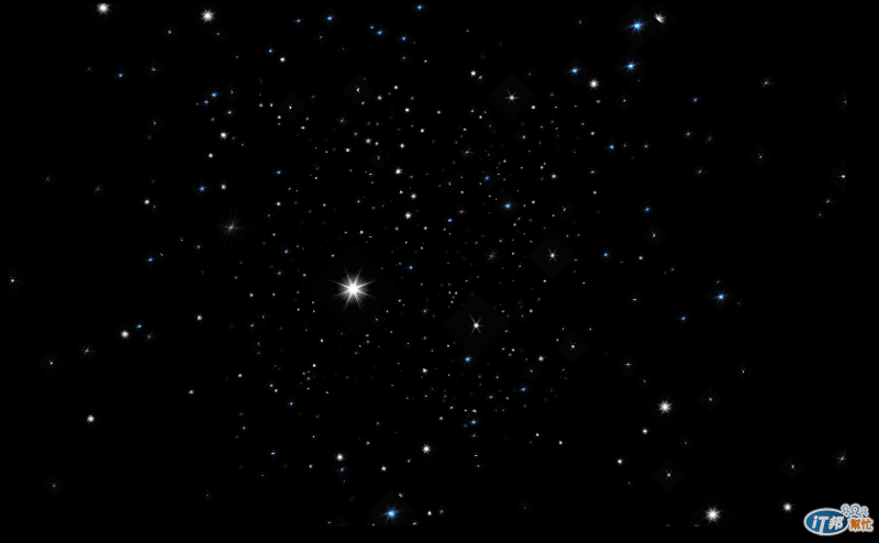
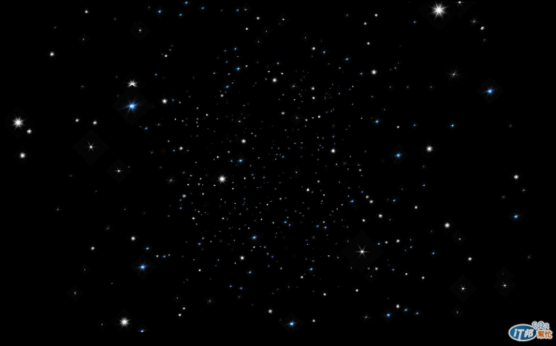
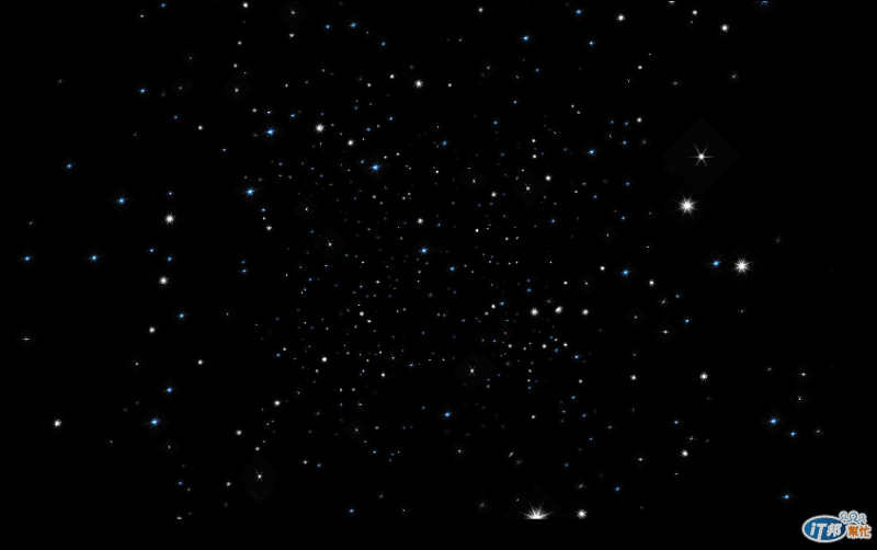
昨天使用多重貼圖,貼出來的星空效果如下:


真的是有比較繽紛囉! 接下來就要來貼地球的貼圖。
所以我們就必須要得到世界的GIS資料!
維基百科上面有列出GIS的資料來源
http://en.wikipedia.org/wiki/List_of_GIS_data_sources
我們看有哪些資源可以運用。
我們就先去第一個站 Natural Earth看看,首先就是要先查term of use知道這些資料要不要花錢呢?
幸好這個站是完全免費的,只要在你的作品標示資料來源是Natural Earth即可!
接下來要了解他們提供什麼格式的資料。
Natural Earth Vector comes in ESRI shapefile format, the de facto standard for vector geodata. Character encoding is Windows-1252.
Natural Earth Raster comes in TIFF format with a TFW world file.
All Natural Earth data **** use the Geographic coordinate system (projection), WGS84 datum +proj=longlat +ellps=WGS84 +datum=WGS84 +no_defs
根據他們網站的這段文字,他們提供了Vector與Raster的資料!
Vector 與 Raster 分別代表什麼呢
首先先去看 **ESRI shapefile format,**這是給gis 軟體使用的向量格式檔案
http://en.wikipedia.org/wiki/Shapefile
似乎是像圖層的概念,可以提供各種資訊,例如海洋,國家的邊界等
看了一下,對於我們的目標貼圖地球要怎麼達成,還是霧煞煞,明天再繼續。
